Banff National Park holds more than 1,600 kilometres of maintained trail, from paved canyon boardwalks to multi-day alpine traverses along the Continental Divide. Picking a handful for a one-week trip is the hard part.
This guide sorts the park's best routes by region and effort level: quick options near Banff townsite, the teahouse classics around Lake Louise and Moraine Lake, and the alpine passes strung along the Icefields Parkway. Each entry gives distance, elevation gain and a straight call on who it suits, plus the fees, shuttle rules and bear-safety details that decide whether you can actually hike it that day. If you'd rather hand off the logistics, a few of the park's guided hiking tours cover several of these routes with transport included.
Quick-Pick Guide: The Best Banff Hikes at a Glance
Six situations cover most hikers. Find yours in the table, then read the full write-up in the region sections below.
| Hike | Region | Distance (return) | Elevation Gain | Difficulty | Best For |
|---|---|---|---|---|---|
| Plain of Six Glaciers | Lake Louise | 10.6-11.6 km | 365-595 m | Moderate | Best overall day / teahouse hike |
| Johnston Canyon (Lower Falls) | Bow Valley Parkway | 2.2 km | 85 m | Easy | Best easy / family hike |
| Healy Pass | Sunshine Village | 17.6 km | 650 m | Moderate | Best moderate hike, fewer crowds |
| Bourgeau Lake & Harvey Pass | Banff townsite area | 13.4-17.8 km | 730 m+ | Difficult | Best all-day trek |
| Larch Valley & Sentinel Pass | Moraine Lake | 11.2 km | 750 m | Moderate-Difficult | Best for fall larches |
| Chephren Lake | Icefields Parkway | 7 km | 80 m | Easy-Moderate | Best to escape crowds |
Every hike below sits inside Banff National Park itself. A few widely shared 'Banff hikes' making the rounds online actually cross into Yoho, Kootenay or Kananaskis — those get a one-line mention near the end instead of a full write-up.
Planning Your Hike: Season, Fees, Shuttles & Bear Safety
Plan around July through mid-September. Alpine passes like Sentinel Pass and Wilcox Pass often stay snow-bound into late June, and early attempts risk avalanche runout even in early July on north-facing slopes. Larches turn gold in a short window, roughly mid-to-late September, and that's when Larch Valley and Healy Pass see their heaviest traffic of the year. Shoulder months work for valley-bottom trails like Johnston Canyon but not anything above treeline. Our season-by-season guide breaks down weather and crowd patterns month by month.
Parks Canada rates every trail Easy, Moderate or Difficult. Easy means flat or rolling ground with little elevation change — Johnston Canyon's boardwalk, essentially. Moderate covers short steep pitches on a basic trail surface, the category most teahouse hikes fall into. Difficult means sustained steep sections, route-finding obstacles and serious elevation gain, the territory of Bourgeau Lake or Cory Pass. Match the rating to your fitness before committing to a 700-metre climb at altitude.
A park pass is required to stop anywhere inside Banff, trailheads included. Daily adult admission runs $12.25 CAD, with a family or group of up to seven paying $24.50; an annual Discovery Pass covering every Parks Canada site costs $83.50. From June 19 to September 7, 2026, admission is free under the federal Canada Strong Pass — check current dates before budgeting for one. Full fee tables live on our park hours and fees page.
Moraine Lake Road has been closed to private vehicles for several years, and that isn't changing. The only ways in are the Parks Canada shuttle (book online well ahead), Roam Transit, a taxi, a licensed tour, or a bike. Lake Louise's own lot fills within an hour of sunrise through summer, so plan on the same shuttle system there too, or start hiking before 7 a.m. Our directions and transport guide covers shuttle schedules and pickup points.
Grizzlies and black bears use these same trails, especially in berry season. Parks Canada recommends bear spray on every hike, worn where you can reach it, not buried in a pack. Several Lake Louise-area trails, including Larch Valley and Sentinel Pass, impose a minimum group size of four hikers during posted restriction periods, roughly July 10 to September 15, when grizzly activity peaks. Our wildlife safety guide covers identification and what to do at close range.
- Bear spray, worn where you can reach it in seconds
- Offline map or GPS — the Icefields Parkway has almost no cell signal
- Layers and a rain shell; weather turns fast above treeline
- A satellite communicator for longer or solo alpine routes
- Extra food and water beyond what the hike "should" take
Best Easy Hikes Near Banff Townsite & the Bow Valley Parkway
These are the trails to start with: short enough for a half-day, gentle enough for first-timers or a family with young kids.
Johnston Canyon (Lower Falls, Upper Falls & the Ink Pots)
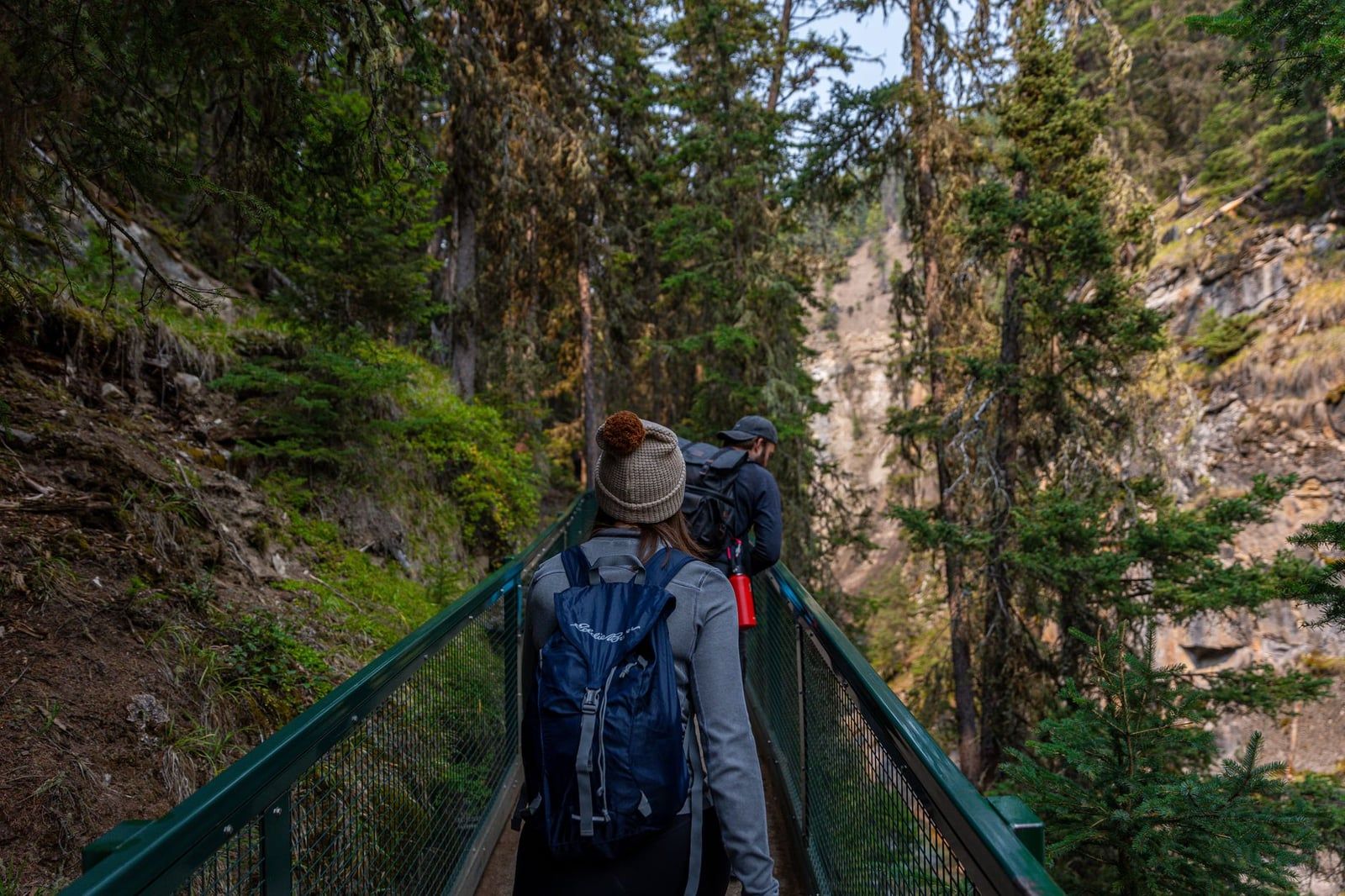
A steel catwalk bolted to limestone cliffs leads 1.1 km to the Lower Falls, an 85 m climb that takes about an hour round trip — Banff's most-walked trail, and it shows on a July afternoon. Push on and the trail climbs another 1.3 km to the Upper Falls (2.4 km one way total, 215 m gain, about 2 hours round trip), where the crowd thins fast.
Keep going and the canyon opens into forest; the Ink Pots, a cluster of cold mineral springs bubbling out of a meadow, sit about 5.8 km from the trailhead. That last stretch loses most of the tour-bus crowd. Arrive before 8 a.m. — the roughly 350 parking spaces across the two lots fill by mid-morning in summer, and latecomers end up on the highway shoulder.
Tunnel Mountain
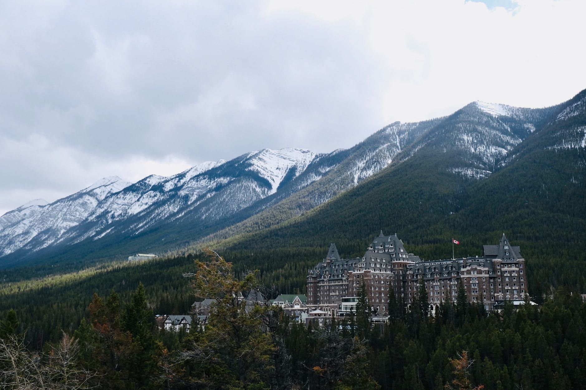
Banff's in-town summit hike climbs 2.3 km one way and 275 m to a rocky viewpoint over the Bow Valley and the Fairmont Banff Springs Hotel, about 2 hours round trip. No trailhead shuttle needed — it starts a 10-minute walk from downtown Banff, which makes it the default pick for an evening hike or a half-day between errands.
Lake Minnewanka Shoreline & Johnson Lake Loop
Both trails stay flat and family-friendly, a step down in effort from anything above. The Lake Minnewanka shoreline path follows Banff's longest lake, about 21 km end to end, with regular bighorn sheep sightings in the first few kilometres. Johnson Lake Loop circles a small, shallow lake nearby in under an hour, warm enough for a swim by midsummer. Neither has real elevation gain, which makes them the pick for young kids or a rest day.
Best Moderate & Difficult Hikes Near Banff Townsite
None of these require driving to Lake Louise, but each demands a real half-day or more and delivers correspondingly emptier trails.
Sulphur Mountain
The Sulphur Mountain Trail switchbacks 4.8 km up to the gondola's upper station, gaining 655 m over roughly 4 hours round trip, a steady grind through forest with almost no flat ground. Push on another 500 m to Sanson Peak's old weather observatory for a wider view over six mountain ranges.
Don't want to walk down? The Banff Gondola covers the same ascent in about 8 minutes, so you can ride up, hike, and ride down again. Either way, go early — afternoon thunderstorms build over this ridge most summer days.
Bourgeau Lake & Harvey Pass
It's a long forest climb — 6.7 km one way and 730 m of gain to Bourgeau Lake, about 6 hours round trip — with the payoff a glacially carved lake backed by cliffs. Hikers with energy left can add 2.2 km to Harvey Pass for a view of Mt. Assiniboine's pyramid summit on the horizon. Start early; there's no shade on the last kilometre and the switchbacks feel relentless by afternoon.
Cascade Amphitheatre
From the Mt. Norquay day lodge, 6.8 km one way and 740 m of gain lead into a limestone cirque so symmetrical it looks built rather than eroded, about 6 hours round trip. Snow can linger in the bowl into July even in a light-snow year, so check trail reports before committing to the full distance.
C-Level Cirque
This one starts near Lake Minnewanka at the old Upper Bankhead coal-mining site and climbs 3.8 km one way and 440 m to a rockslide-strewn cirque, about 3 hours round trip. Rusted mining relics along the lower trail add a bit of history most Banff hikes skip, and the shorter distance makes it a solid half-day pick when Sulphur Mountain or Cascade feel like too much.
Healy Pass (and Cory Pass for the fit)
Starting from Sunshine Village, Healy Pass climbs gradually for 8.8 km one way and 650 m, 6-7 hours round trip, through wildflower meadows that turn to larch gold by late September. It draws a fraction of Lake Louise's crowds despite comparable scenery — the extra drive to the trailhead filters out a lot of day-trippers.
For something harder, the Cory Pass–Mt. Edith Circuit near the Bow Valley Parkway ranks among the toughest day hikes in the park: steep scree, exposed scrambling and a serious elevation total in a single loop. It's not for first-timers, but experienced hikers rate the view down onto Mt. Louis's sheer face among the best in Banff.
Best Hikes in the Lake Louise & Moraine Lake Area
Lake Louise and Moraine Lake pack more classic trailheads into a small area than anywhere else in the park. Most searches for the best hikes in Banff really mean this stretch of highway between the two lakes.
Lake Agnes Tea House & the Beehives
The climb to Lake Agnes runs about 3.4 km one way with roughly 400 m of gain from the Lake Louise lakeshore, call it 7.4-7.8 km and 2.5-3 hours round trip once you factor the walk back. A log teahouse at the top serves tea and scones over a small alpine lake tucked below Big Beehive's cliffs — cash only, and it closes for the season by early October.
From the teahouse, Big Beehive adds a steep 45-minute climb to a lookout platform over the whole Lake Louise valley, while Devil's Thumb branches off as a harder, unmaintained scramble for experienced hikers only. Most people do Agnes as an out-and-back; the fitter option loops over Big Beehive and down toward the Plain of Six Glaciers junction.
Plain of Six Glaciers
This one runs 10.6-11.6 km return with 365-595 m of gain, 4-6 hours round trip, tracing the Lake Louise lakeshore before climbing toward a row of hanging glaciers on Mt. Victoria. A second teahouse near the trail's end serves lunch with a direct view of the ice, the same cash-only, seasonal setup as Lake Agnes.
Combine Plain of Six Glaciers with Lake Agnes and the lakeshore walk in one long day and you get what most Banff guides quietly agree is the best single day of hiking in the park: two teahouses, a beehive summit and a glacier view, all from one trailhead. Budget 7-8 hours and start by 8 a.m.
Larch Valley & Sentinel Pass
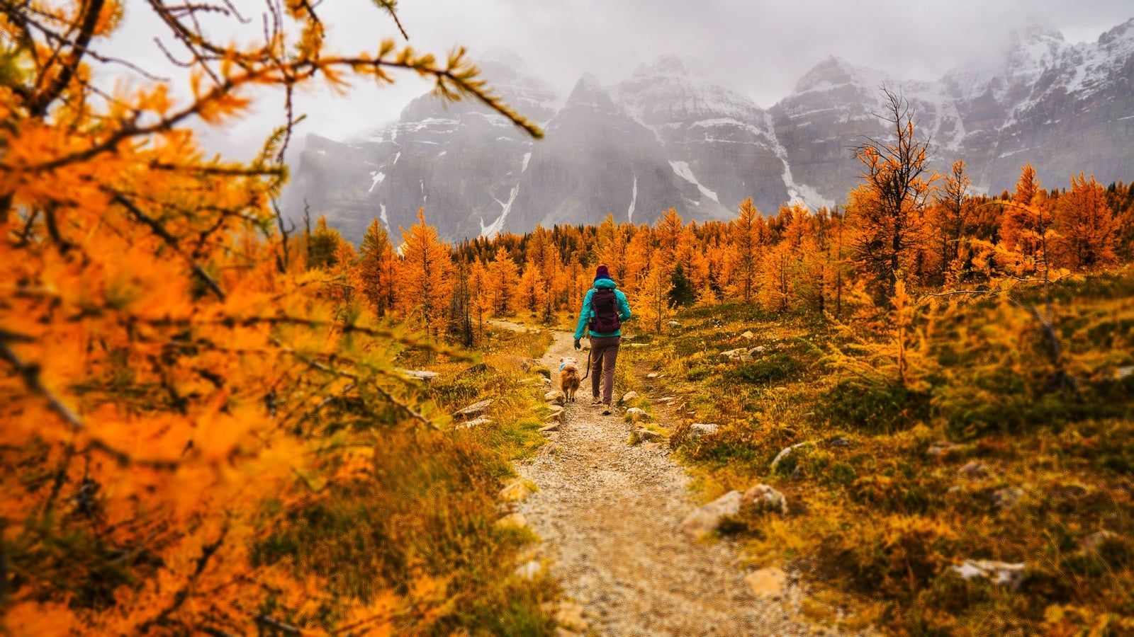
From Moraine Lake's northwest shore, Larch Valley climbs 11.2 km return and 750 m to a meadow of larch trees that turn gold for roughly two weeks in late September, the single most photographed fall scene in the Rockies. Push on to Sentinel Pass for a view down into Paradise Valley on the far side, still within that same round trip if you extend the loop.
This is grizzly habitat, and Parks Canada enforces a minimum group size of four hikers here during posted restriction periods, typically July 10 to September 15. Come in larch season and you'll share the trail with a lot of people — reach the Moraine Lake shuttle stop by first light or expect a wait. Paradise Valley, from a separate trailhead near Lake Louise, makes a longer, quieter route into the same alpine basin.
Moraine Lake Lakeshore & Consolation Lakes
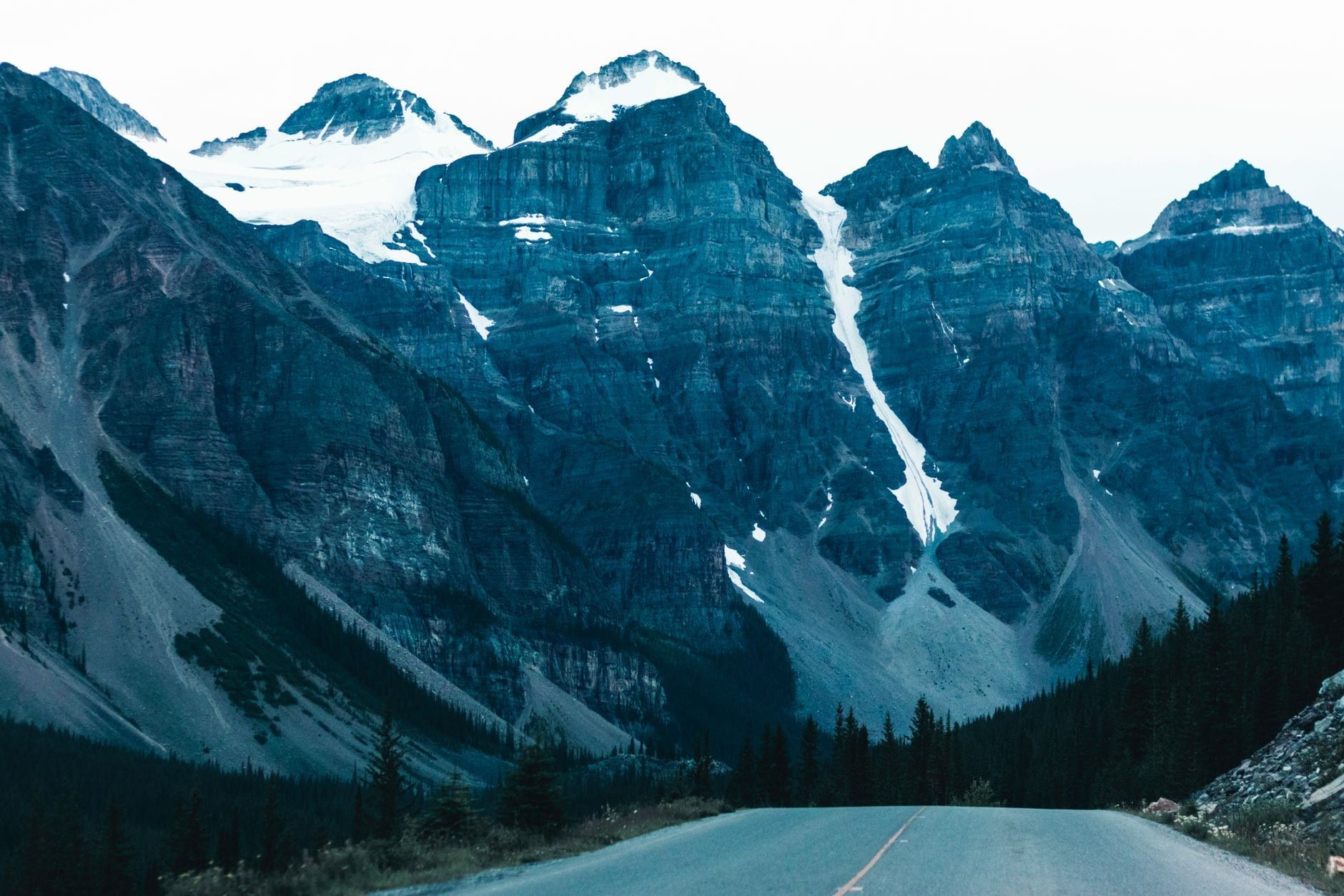
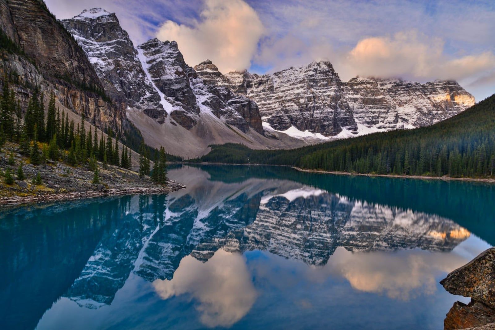
The Rockpile Trail up from the Moraine Lake shuttle drop-off is barely a climb, but it delivers the view once printed on the Canadian twenty-dollar bill — the Valley of the Ten Peaks framed by turquoise water. Continue past the rockpile onto the Lakeshore Trail, an easy 3 km return with no real elevation gain, for a quieter walk along the water. Consolation Lakes branches off the same trailhead for a longer, flatter route through boulder fields to a pair of glacier-fed lakes with far fewer people than the Rockpile viewpoint.
Saddleback Pass & Fairview Mountain
Saddleback Pass runs 7.4 km return with about 600 m of gain, a steady climb through larch forest to a saddle between Fairview and Sheol Mountains. Strong hikers can continue up Fairview Mountain itself, adding roughly 2 hours and 400 m more gain for a summit view over Lake Louise and the Bow Valley. It's a quieter, tougher stand-in for Larch Valley when the Moraine Lake shuttle is fully booked.
Best Hikes Along the Icefields Parkway
Highway 93 North strings a set of alpine hikes between Lake Louise and the Columbia Icefield, and most drivers only stop for the roadside viewpoints. The short climbs below are worth the extra hour.
Parker Ridge
A steady 2.7 km climb one way and 250 m of gain, about 2.5 hours round trip, ends above treeline with the Saskatchewan Glacier spread out below, a long tongue of ice feeding the North Saskatchewan River. Wind picks up hard near the top even on a calm day at the parking lot; bring a shell regardless of the forecast.
Wilcox Pass
Starting near the Columbia Icefield Centre, Wilcox Pass climbs to open alpine tundra with a view across the valley to the Athabasca Glacier, without the crowds at the glacier's toe. Bighorn sheep and mountain goats graze the pass regularly through summer, sightings that rival what you'd get on a dedicated wildlife tour. It's one of the few Banff trails where you're likely to see more wildlife than people.
Helen Lake
Across from the Crowfoot Glacier Viewpoint, Helen Lake runs 11.8 km return with 530 m of gain, 4-5 hours round trip, through wildflower meadows thick with hoary marmots by midsummer. The lake sits in a bowl below Cirque Peak, ringed by scree slopes that hold snow into July most years. Extend past the lake toward Dolomite Pass if you've got another hour and legs left.
Bow Summit & Peyto Lake Lookout
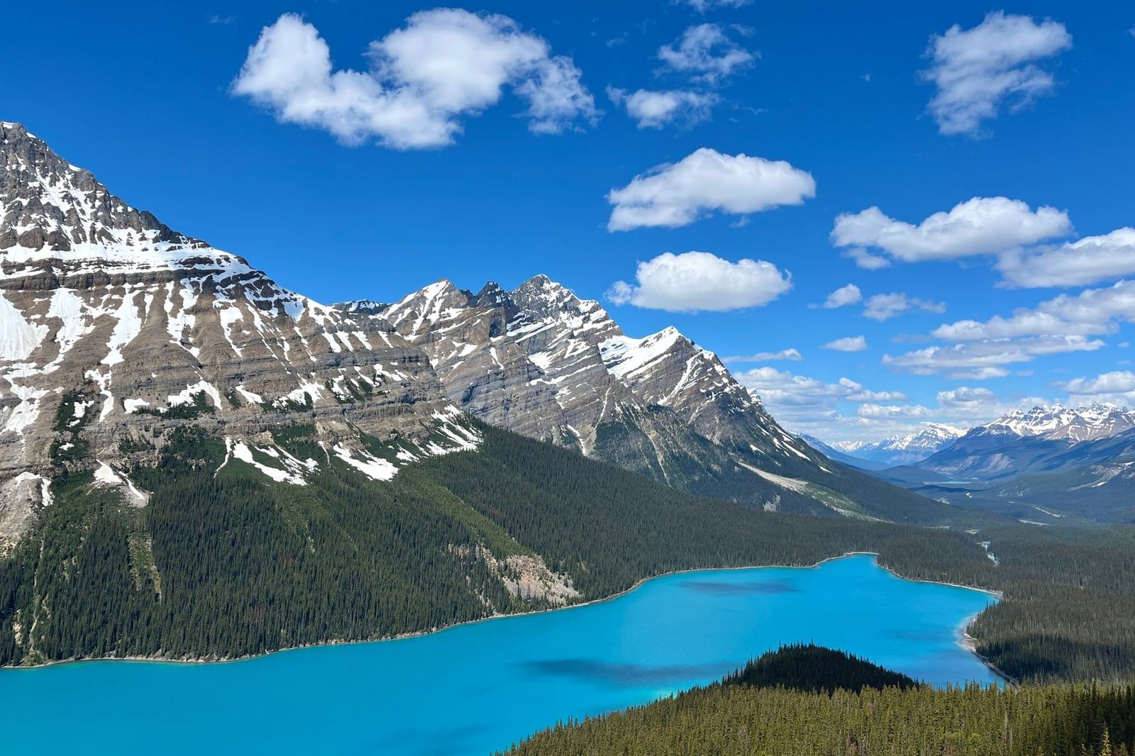
The short walk up from the Peyto Lake parking area gets everyone to a fox-head-shaped view of Peyto Lake's turquoise water, but the actual Bow Summit trail continues past that crowd, 5.9 km return and 320 m of gain, about 1 hour 20 minutes, to a quieter lookout over Bow Lake and the Wapta Icefield. Skip the packed viewing platform below and keep walking; the upper trail thins out fast.
Chephren Lake
From Waterfowl Lakes Campground, a flat 3.5 km one way, 80 m gain, about 3 hours round trip, leads to a turquoise lake backed by Howse Peak, with a fraction of the foot traffic at Lake Louise or Moraine Lake. Bring bug spray in July; the approach crosses low, marshy ground before it reaches the water.
Bonus Picks: Best Hikes for Larches, Teahouses, Dogs & Dodging Crowds
Fall colour peaks in a short window. For larches, prioritize Larch Valley and Sentinel Pass first, then Healy Pass or Saddleback Pass/Fairview Mountain if you have extra days — all turn gold within roughly the same two weeks in mid-to-late September. For a sit-down break mid-hike, Lake Agnes Tea House and the Plain of Six Glaciers Tea House are the only two on this list; both are cash-only and close once the snow arrives.
Dogs are welcome on every trail covered here in summer unless a specific closure applies, but Banff's leash law is absolute: under physical control at all times, no exceptions. A loose dog is also the fastest way to trigger a bad bear encounter.
Healy Pass, Chephren Lake and C-Level Cirque see a fraction of Lake Louise's crowds for comparable scenery. Book these on a July Saturday when Moraine Lake's shuttle line is already an hour long by 9 a.m.
With an extra day, a few celebrated 'Banff hikes' floating around online actually cross a park boundary. Ha Ling Peak sits in Kananaskis Country near Canmore, the Iceline Trail is in Yoho National Park past Lake Louise, and Stanley Glacier is in Kootenay National Park south on Highway 93. All three are worth the drive; just know you're leaving Banff to reach them.
FAQ
What is the single best hike in Banff National Park?
For most travelers it's the Lake Louise combo: Lake Agnes Tea House, the Big Beehive and Plain of Six Glaciers strung into one 7-8 hour day from the same trailhead. Hiking in the last two weeks of September? Swap in Larch Valley and Sentinel Pass at Moraine Lake for the fall colour instead.
What is the best easy hike in Banff?
Johnston Canyon to the Lower Falls: 1.1 km one way, 85 m of elevation gain, mostly boardwalk, about an hour round trip. It's manageable for most fitness levels and busy enough that you should start before 8 a.m.
When is the best time to hike in Banff National Park?
July through mid-September, once most alpine trails lose their snow. Larches turn gold roughly mid-to-late September, a two-week window worth planning a trip around if fall colour is the goal.
Do I need a permit or pass to hike in Banff?
You need a valid Parks Canada day pass or annual Discovery Pass just to stop at any trailhead. Daily adult admission is $12.25 CAD ($24.50 for a family or group), though free-admission periods such as the Canada Strong Pass have applied in some years, so check current dates before you go.
How do I get to Moraine Lake now that the road is closed?
Moraine Lake Road is closed to private vehicles year-round. Reach the trailhead by Parks Canada shuttle (book online in advance), Roam Transit in shoulder season, a licensed tour, taxi, or bike.
Is it safe to hike alone in Banff, and do I need bear spray?
Carry bear spray on every trail regardless of group size; Parks Canada recommends it everywhere in the park. Some Lake Louise-area routes, including Larch Valley and Sentinel Pass, require a minimum group of four hikers during posted summer restriction periods due to grizzly activity, so solo hikers need to team up at the trailhead on those specific trails.
Which Banff hikes are best for fall larches?
Larch Valley and Sentinel Pass at Moraine Lake is the classic choice, followed by Healy Pass and the Saddleback Pass/Fairview Mountain area near Lake Louise. All turn gold in roughly the same mid-to-late September window.
Are dogs allowed on Banff hiking trails?
Yes, on every trail unless a specific closure says otherwise, but they must stay leashed and under control at all times. It's a legal requirement, not a suggestion.